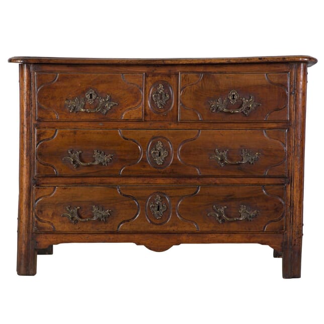
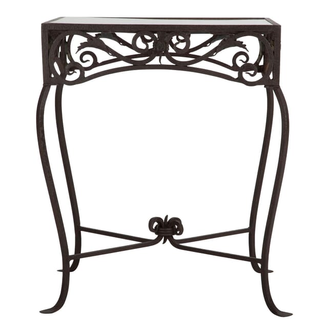
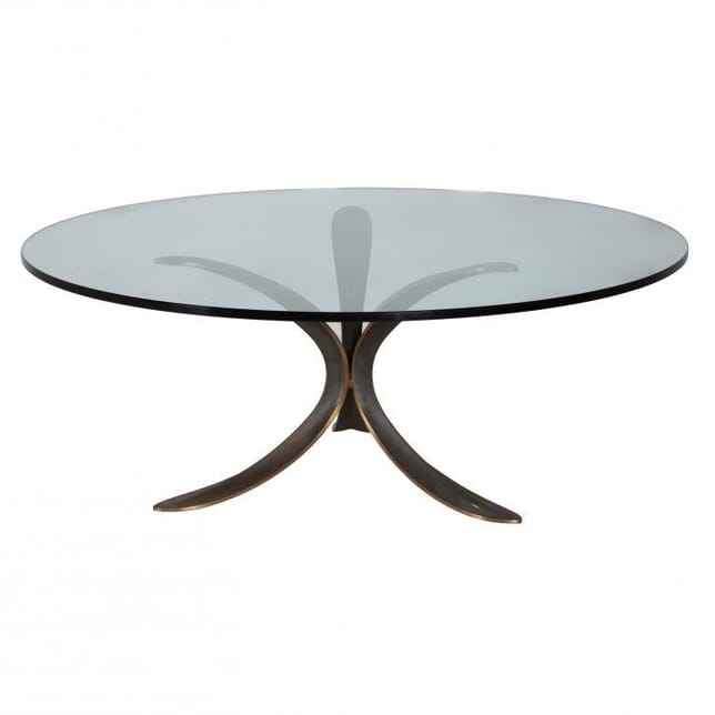
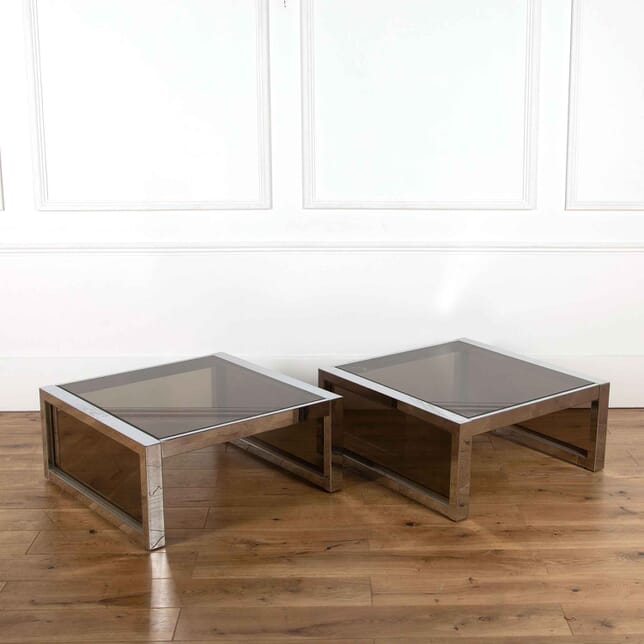
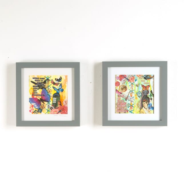
Latest Arrivals
Shop Now
Magnificent 19th Century framed map of ancient France.
This map comes from Le Chevalier's 1860 edition of the elephant folio Atlas Universal. The work was engraved by Charles Dyonette and produced by A.H. Dufour in Paris.
Dufour began producing this atlas in 1855 and its final edition came out in 1870. All contained roughly 40 different maps.
This print is engraved on copper plate and beautifully hand-coloured.
Auguste-Henri Dufour (1795- 1865) was a prolific Paris-based map and print publisher. The monumental Atlas Universal is considered one of his greatest publications.
Charles Dyonette (1822-1880) was also active in Paris, working as an engraver in the mid-late 19th Century. He engraved a host of maps for prolific publishers of the time, with his attention to detail and emphasis on aesthetics leading him to produce some of the most beautiful French maps in history.
The print measures 57cm x 78cm and has been mounted on card and framed (overall size 105cm x 84cm x 4cm).
Magnificent 19th Century framed map of ancient France.
This map comes from Le Chevalier's 1860 edition of the elephant folio Atlas Universal. The work was engraved by Charles Dyonette and produced by A.H. Dufour in Paris.
Dufour began producing this atlas in 1855 and its final edition came out in 1870. All containing roughly 40 different maps.
This print is engraved on copper plate and beautifully hand-coloured.
Auguste-Henri Dufour (1795- 1865) was a prolific Paris-based map and print publisher. The monumental Atlas Universal is considered one of his greatest publications.
Charles Dyonette (1822-1880) was also active in Paris, working as an engraver in the mid-late 19th Century. He engraved a host of maps for prolific publishers of the time, with his attention to detail and emphasis on aesthetics leading him to produce some of the most beautiful French maps in history.
The print measures 57cm x 78cm and has been mounted on card and framed (overall size 105cm x 84cm x 4cm).
We anticipate that you will be delighted with the pieces you purchase from Lorfords. However, where necessary we offer a full refund policy. Please inform us via e-mail or telephone within 48 hours of delivery if you wish to return an item.
Returned stock must be delivered to our warehouse within 14 days, in the same condition it left us. The cost to return will be equal to the original delivery cost and will be deducted from your refund. We do not refund the original delivery cost.
We are unable to offer refunds, unless faulty, for any made to order items in our Created range.